MUSA/Smart Cities Practicum
Project Description
The Master of Urban Spatial Analytics (MUSA) program at the University of Pennsylvania teaches at the intersection of data science & public policy. In the MUSA Practicum, students work with clients to develop data science tools that can help stakeholders better allocate their limited resources. The course is taught by Michael Fichman & Matthew Harris and was founded by the late Professor Ken Steif. Each project below includes a case study and source code that other cities can adopt for the purposes of replication.
Projects 2023
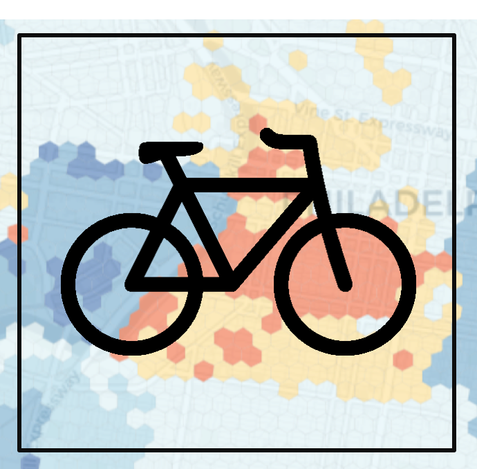
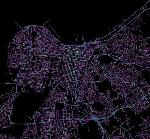
Philadelphia, PA - Evaluating and Forecasting for Bike Share Expansion
 View R Markdown
Interactive app
View R Markdown
Interactive app
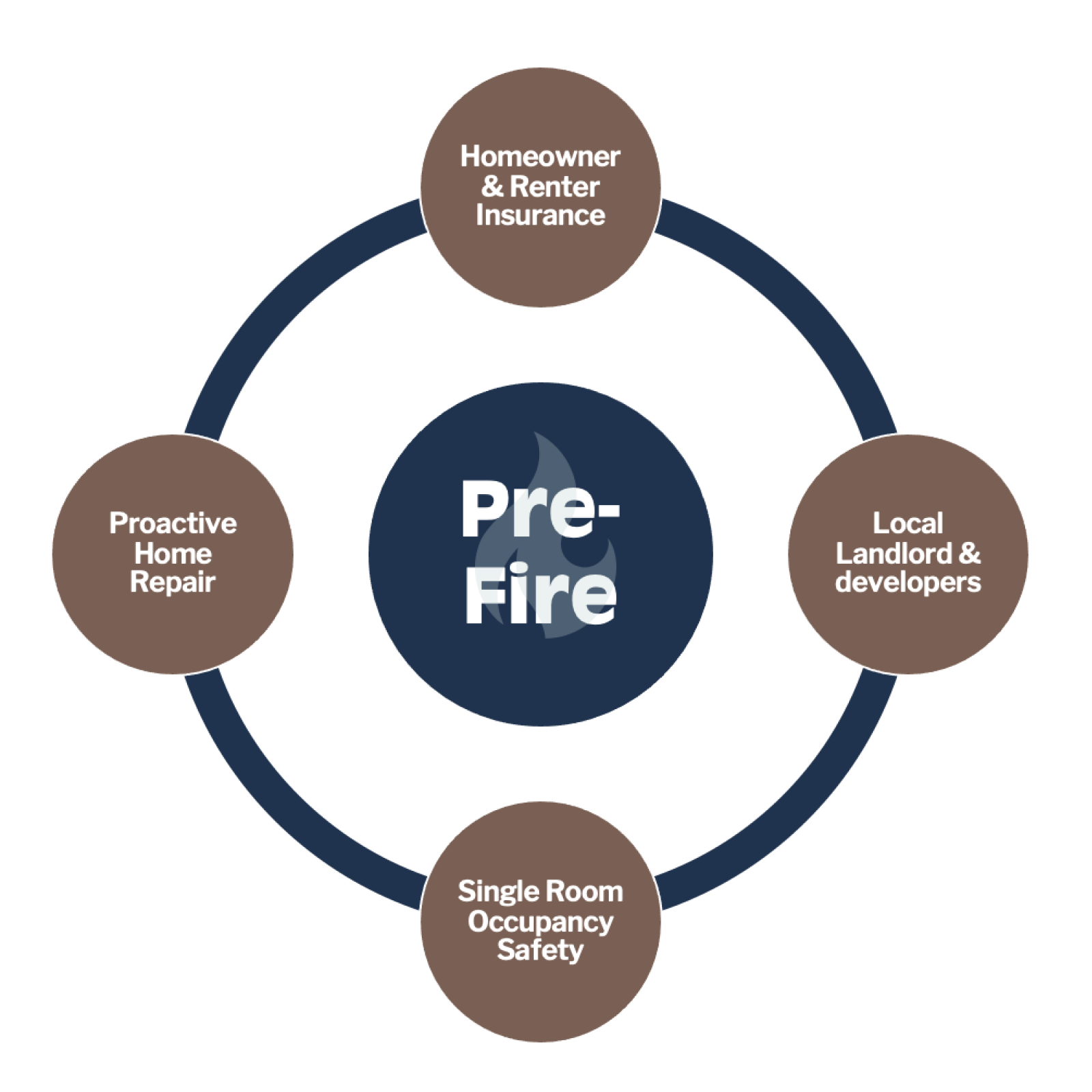
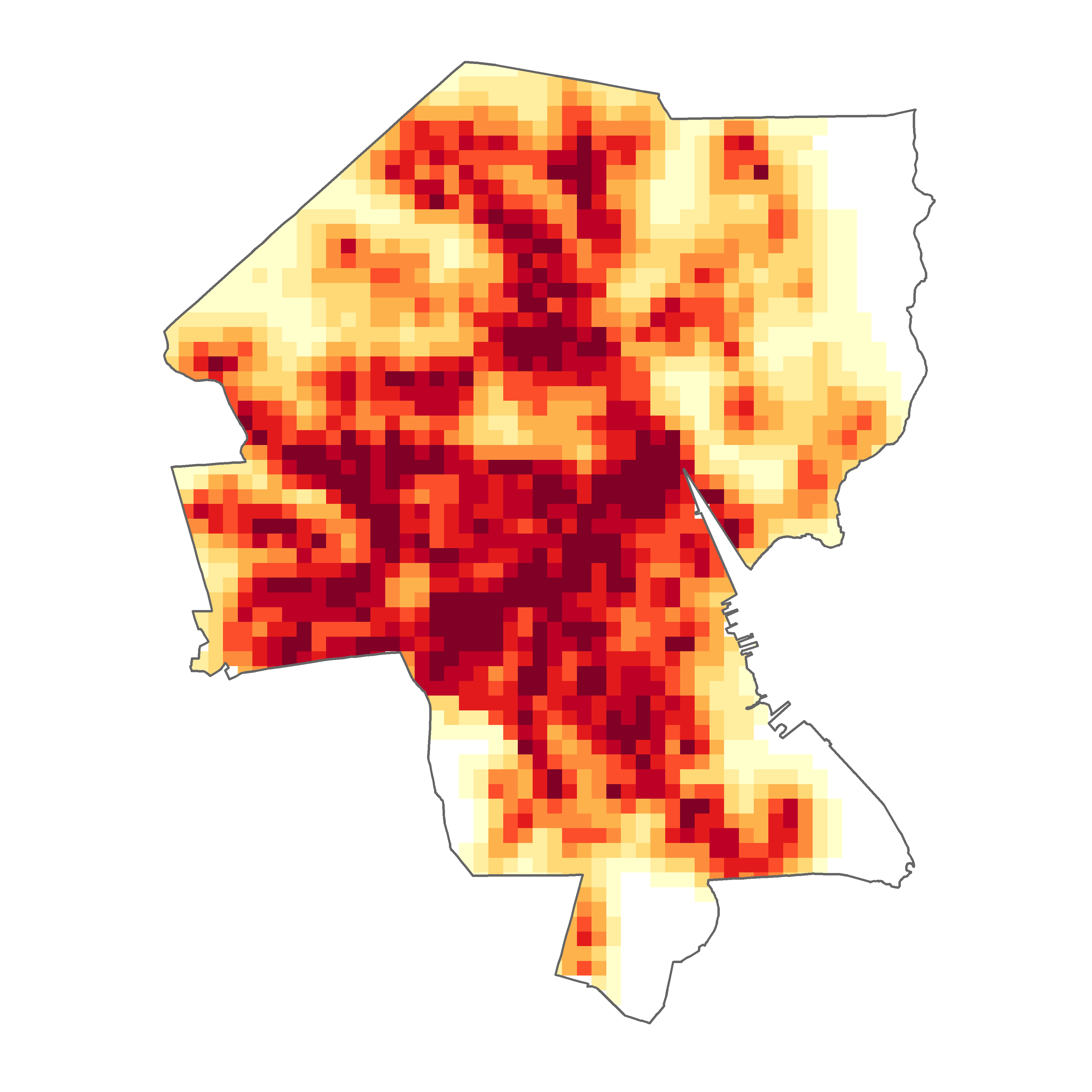
Philadelphia, PA - Understanding and Forecasting the Community Impacts of Structure Fire
 View R Markdown
Interactive map
View R Markdown
Interactive map
Projects 2022
Philadelphia, PA - Allocating Programming Resources Using A Mobility-Based Information System
 View R Markdown
Interactive map
View R Markdown
Interactive map
Colorado Springs, CO - A Mobility Decision Support System at Fort Carson Army Base
 View R Markdown
Interactive map
View R Markdown
Interactive map
Guilford County, NC - A Human Resources Turnover Risk Intelligence System
 View R Markdown
Interactive app
View R Markdown
Interactive app
Philadelphia, PA - Assessment Tool for Adverse Possession - Eligible Side Lots
 View R Markdown
Interactive map
View R Markdown
Interactive map
Projects 2021
Philadelphia, PA - Fire Response Situational Awareness API
 View R Markdown
Philadelphia, PA - After Hours: Studying Nightlife Mobility Patterns
 View R Markdown
Interactive map
View R Markdown
Interactive map
Projects 2020
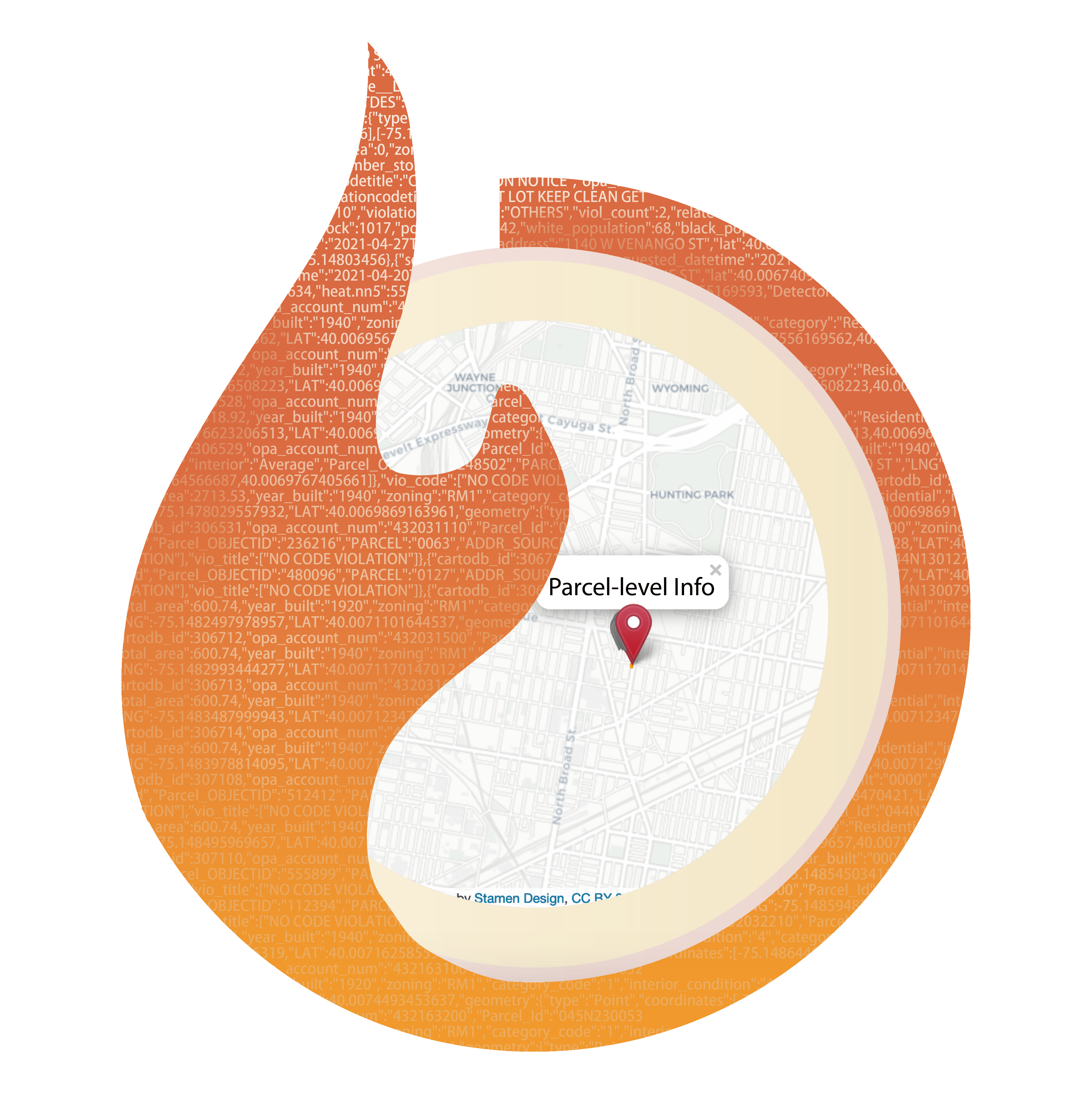
Philadelphia, PA – Predicting Fire Risk
 View R Markdown
Projects 2019
Projects 2018
Philadelphia, PA – Developing a foreclosure early warning system
 View R Markdown
Philadelphia, PA – Quantifying bike share subsidy in low-income neighborhoods
 View R Markdown
Interactive map
View R Markdown
Interactive map
Louisville, Kentucky - Predicting vehicle crashes with built environment data
 View R Markdown
Providence, RI - Siting opioid clinics by predicting opioid overdose events
 View R Markdown
Interactive map
View R Markdown
Interactive map